


Lifestyle
Sichuan Beyond the Pandas: Chengdu, Chongqing, Jiuzhaigou and Mount Emei
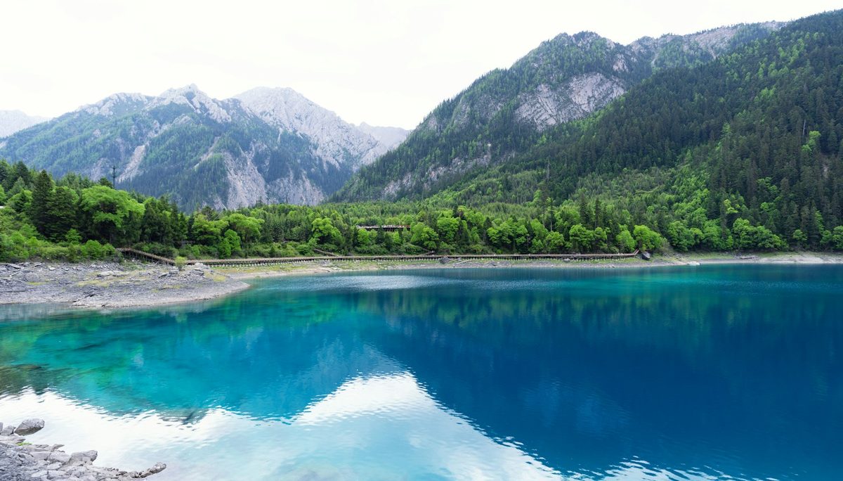
Teahouses and pandas in Chengdu, a night on a sacred mountain, lakes the colour of gemstones and a city built in layers: a ten-day route through Sichuan.
Myanmar lies between India, China and Thailand: a long country of rivers and dry plains, with mountains on its borders and the Bay of Bengal along its western coast. For those who went before 2021, it was the journey of a lifetime: gold stupas catching the last light, monks crossing a teak bridge at dusk, fishermen balancing on one leg on a still lake, and a slow Buddhist daily life that visitors could watch but did not shape.
This guide follows the classic route: Yangon, Inle Lake and the walk from Kalaw, Bagan, Mandalay and its old royal capitals, the limestone country of Hpa-An and the beach at Ngapali. It is written for the day travel is possible again, and says plainly what is realistic today, which is very little.
Before you go: since the military coup of February 2021, Myanmar has been in civil conflict, and in November 2026 all three of the advisories we checked warn against travel. The US State Department rates Burma at Level 4, "Do not travel", its highest level, citing armed conflict, civil unrest, the arbitrary enforcement of local laws, poor health infrastructure, land mines and unexploded ordnance. France Diplomatie classes the whole country as either "formellement déconseillé" (advised against) or "déconseillé sauf raison impérative" (advised against except for compelling reasons), with Rakhine State among the red zones. The UK Foreign Office advises against all travel to large parts of the country, including Rakhine, Chin, Kachin, Kayah, Kayin and Sagaing, Magway Region and the north of Mandalay Region, and against all but essential travel to others, including southern and eastern Shan State and the rest of Mandalay Region. Travelling against official advice can invalidate your travel insurance, and consular help may be very limited. These lists change; read the current FCDO page and your own government's advice before making any plan.
Yangon is the largest city and the usual point of arrival. At the time of writing it is not among the areas the FCDO tells people to avoid, but every advisory describes risks across the whole country.
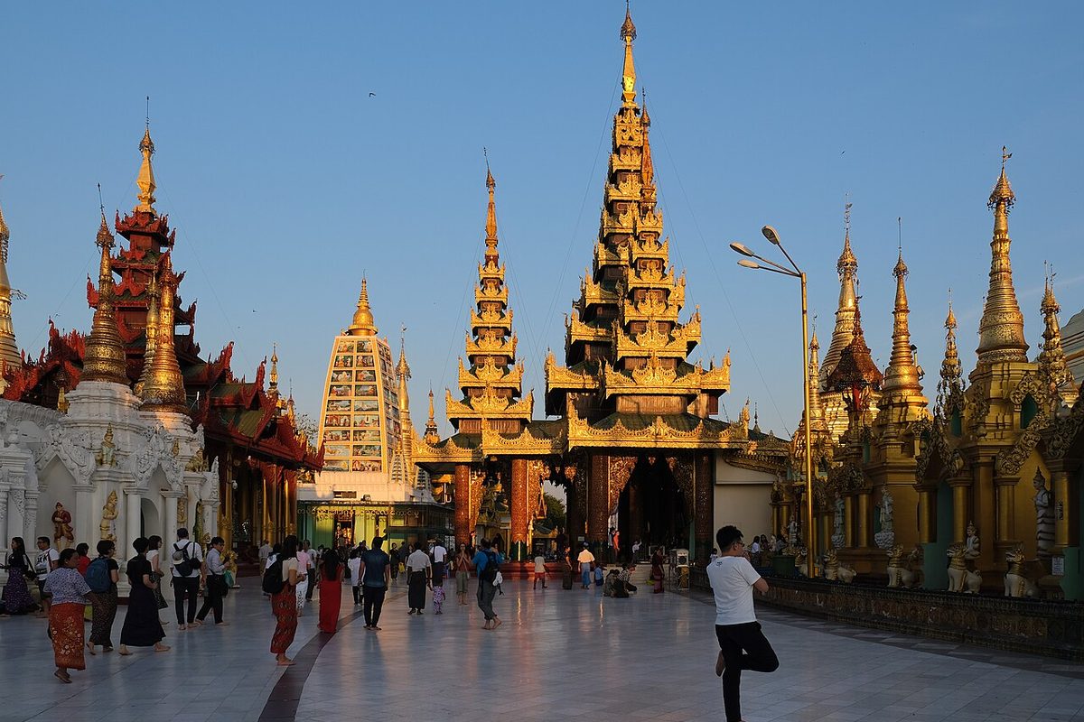
Shwedagon Pagoda. The great gilded stupa on Singuttara Hill is the most sacred Buddhist site in Myanmar. You leave your shoes at the foot of the covered stairways and climb barefoot to a marble platform ringed with shrines, bells and smaller pagodas. Go late in the afternoon, when the marble cools, families arrive with flowers and candles, and the gold turns from yellow to copper. Cover shoulders and knees; a longyi, the wrapped skirt everyone wears, solves it.
The colonial downtown. Between the Sule Pagoda and the river, the British laid out a grid of streets whose brick and stucco courts, banks and shophouses still stand, shutters peeling. Picture a morning there: low plastic stools on the pavement, a kettle on a charcoal stove, samosas frying in a wide wok.
The Circle Line. The slow, open-windowed local train that loops through the city and its outskirts, past rice fields, markets and backyards, with vendors walking the carriages, is how many visitors saw ordinary Yangon. A full loop took about three hours.
Inle is a long, shallow lake in the hills of southern Shan State, lived on rather than beside. It lies in the part of Shan State where the FCDO advises against all but essential travel, so for now it belongs on the "when it is possible again" list.
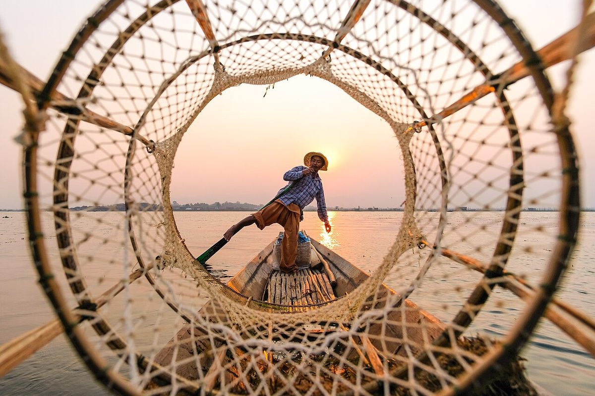
The leg-rowing fishermen. The Intha people of the lake developed a way of rowing that frees their hands: they stand at the stern, wrap one leg around the oar and push, leaving both arms for the conical fishing net. The technique also lets them see over the reeds and floating weed. At dawn, when the water is flat and grey, their silhouettes are the image everyone came for.
Stilt villages and floating gardens. Whole villages stand on stilts above the water, with monasteries and workshops reached only by boat. Between them, tomatoes and other vegetables grow on floating beds of weed and silt, held to the lakebed by bamboo poles so they rise and fall with the water.
Indein. On the western shore, a narrow channel leads through reeds to Indein, where hundreds of old stupas crowd a hillside, some gilded, others crumbling and sprouting trees. Take your time among the broken ones.
The Kalaw–Inle trek. The classic way to arrive was on foot. The walk from the old hill station of Kalaw to the lake normally took three days, through tea gardens, chilli fields and Pa-O, Danu and Palaung villages, with nights in village homes or monasteries. Whether any of it is safe to walk now is a question only current official advice can answer.
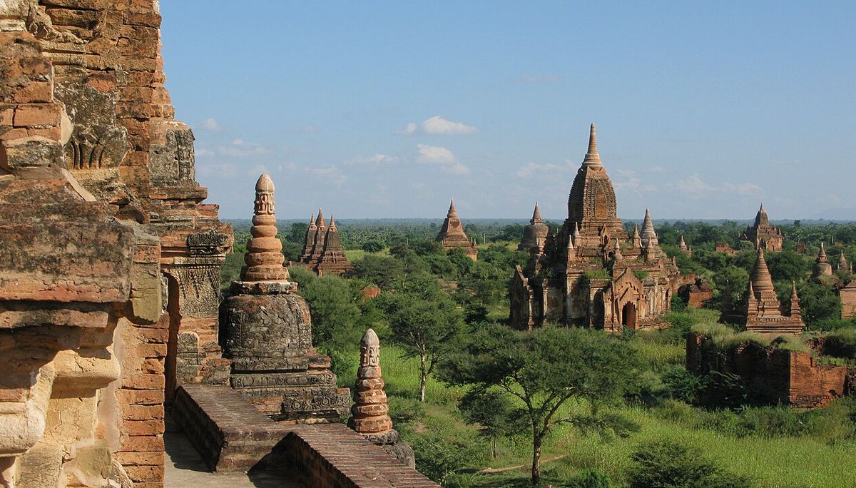
On a dry plain beside the Irrawaddy River, the kings of Bagan built thousands of temples, stupas and monasteries between the eleventh and thirteenth centuries. UNESCO inscribed the site on the World Heritage List in July 2019, counting more than 3,500 surviving monuments. Bagan lies in Mandalay Region, close to its border with Magway; check exactly where the FCDO's lines fall before considering it.
The plain itself. What stays with people is the scale: brick spires in every direction, rising out of scrub and peanut fields and fading into the haze. The way to see it was slowly, by bicycle or e-bike on sandy tracks.
Inside the temples. The white Ananda, the massive Dhammayangyi and the Sulamani are the landmarks. The small unnamed temples are where the quiet is: a cool brick corridor, a seated Buddha lit by one shaft of sun, the smell of dust and old incense.
Light. Sunrise and sunset are the hours. Climbing the temples has been restricted to protect them, so stand on the plain and watch the colour change.
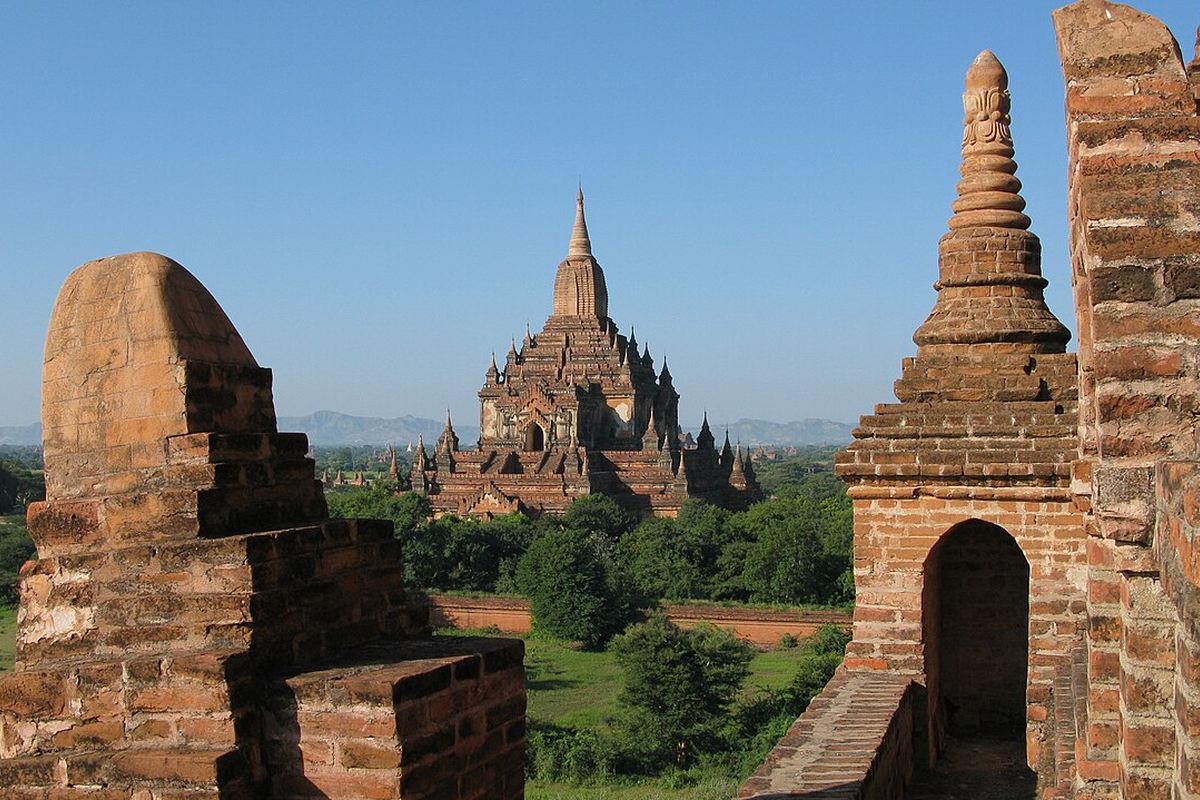
Mandalay was the last royal capital before the British took the country, and around it lie the older capitals of Amarapura, Inwa and, across the river, Sagaing and Mingun. The region was badly hit by the magnitude 7.7 earthquake of March 2025, which damaged or destroyed many pagodas and monasteries, and it sits within the FCDO's all-travel and all-but-essential zones. Expect that some places described here are damaged or closed.
Mandalay. The city spreads around the moat and walls of the old palace, with Mandalay Hill above it; its pleasures were the monasteries, the markets and the river at dusk.
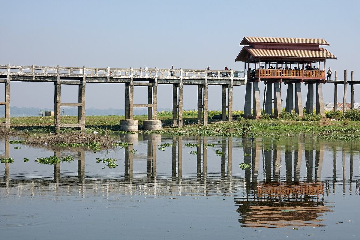
U Bein Bridge. At Amarapura, a teak footbridge about 1.2 kilometres long, built around 1850, crosses Taungthaman Lake on more than a thousand posts. At sunset, monks, cyclists and families cross it in silhouette.
Mingun. Upriver by boat, Mingun has the huge unfinished brick base of a pagoda King Bodawpaya meant to be the largest in the world, the great bronze Mingun Bell and the white terraces of the Hsinbyume Pagoda. It is in Sagaing Region, where the FCDO advises against all travel, and the 2025 earthquake hit it hard.
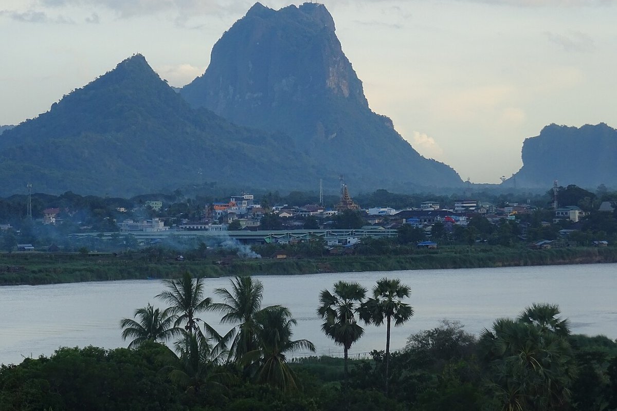
Hpa-An, on the Thanlwin (Salween) River, is the capital of Kayin State: sheer limestone peaks rising from flat green rice fields. Kayin State is now on the FCDO's list of areas it advises against all travel to.
Mount Zwegabin. The jagged peak south of town has a monastery on its summit and a long climb of steps to reach it, with wide views over the paddies and karst. At its foot, rows of seated Buddha statues fill the Lumbini Garden.
The caves. The limestone is full of caves turned into shrines. At Kawgun, thousands of small clay votive tablets cover the walls; Saddan is long enough to walk through to a lake on the far side, where a boat brings you back.
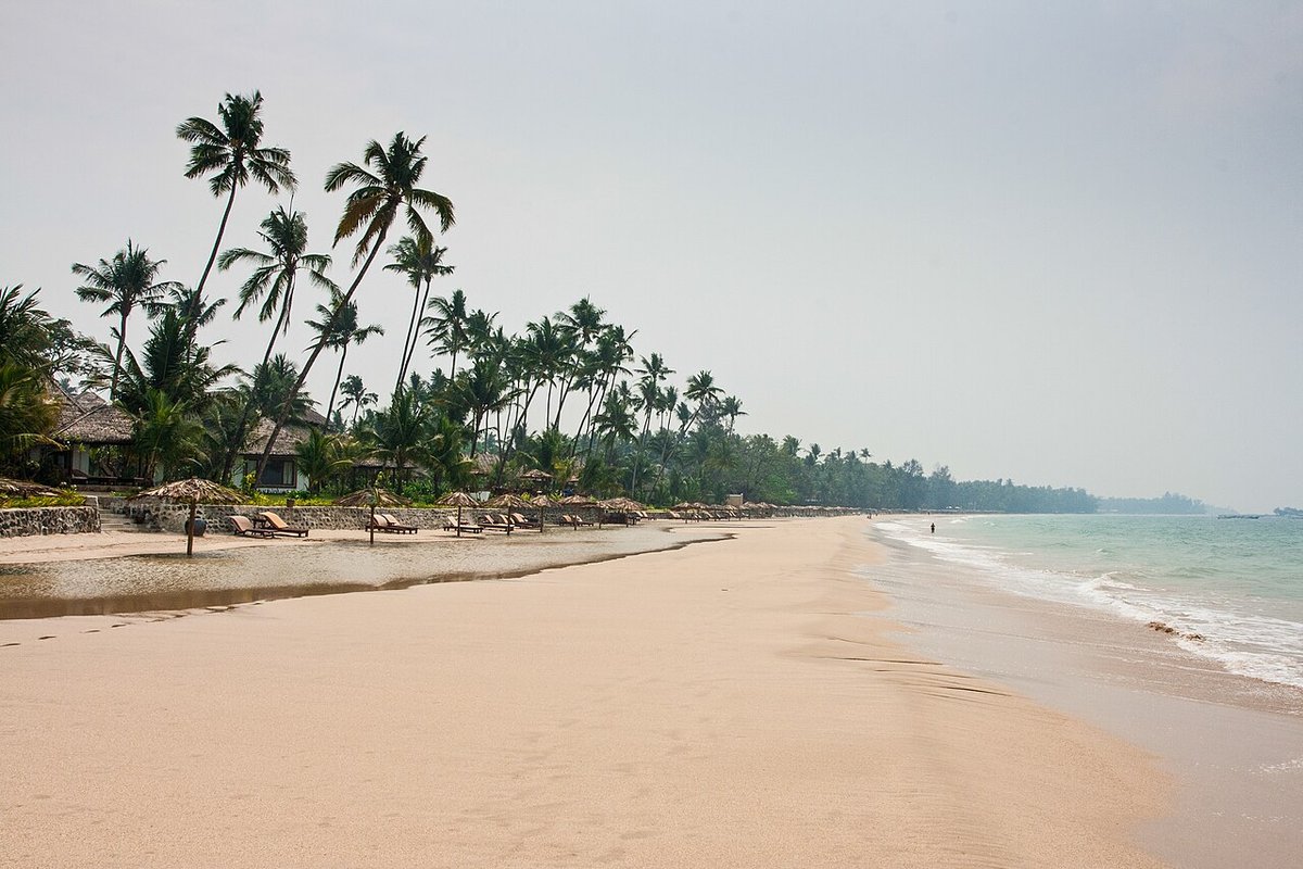
Ngapali, a few kilometres from the town of Thandwe, was long called Myanmar's premier beach: a long curve of pale sand and palms, fishing boats drawn up at the water's edge, and fish laid out to dry on mats in the villages. It is in Rakhine State, where fighting between the army and the Arakan Army has been severe, and where the UK and France both advise against all travel. For now it is a place to remember, not to plan.
Burmese food sits between India, China and Thailand and tastes like none of them: less fiery than Thai, built on fish sauce, dried shrimp, garlic and turmeric, with fresh and fried things to scatter on top.
The first question. Read the official advice before anything else and check that your insurer will cover you. If an advisory says not to travel, the honest answer is to wait. Our piece on making the most of your vacation time may help meanwhile, and for a slow trip elsewhere in Asia, see Sichuan beyond the pandas.
Getting there. Yangon's international airport has been the main entry point. France Diplomatie strongly advises against entering overland.
Visas. Tourists need a visa before arrival. The official portal is the Ministry of Immigration's eVisa site; use it rather than agencies that add fees, and check there which entry points the eVisa allows.
Getting around. Domestic flights, overnight buses, slow trains and Irrawaddy boats once linked these places. Many roads now cross conflict areas, and closures change without notice.
Money. Myanmar has long been a cash economy, and international cards and cash machines are unreliable.
When to go. The cool, dry season from November to February is the classic time. March to May is very hot, and the monsoon runs roughly from May or June to October, when trails turn to mud and the coast is stormy.
Respect. Remove shoes and socks at every pagoda and monastery, cover shoulders and knees, never point your feet at a Buddha image or a monk, and do not photograph military sites, checkpoints or soldiers. Keep political conversations for people who start them, and remember that what you say can put them at risk.
Health and safety. The advisories cite poor health infrastructure and land mines. Talk to a travel-health professional well before any trip about vaccinations and malaria, and register with your embassy's alert service if you do go.
A suggested route, for when travel is possible again (14 days).
Myanmar was never a place to rush, and now it asks for a longer patience. Read the advice, follow the news, cook a bowl of mohinga at home, and keep the slow version of this trip for the day the people who live there can welcome visitors safely again. Meanwhile, a few quiet minutes of meditation may come closer to a pagoda platform at dusk than you would think.
Checked in November 2026. Confirm timetables, prices and entry rules before you go.
Part of our reading guide on travel & retreats.
Teahouses and pandas in Chengdu, a night on a sacred mountain, lakes the colour of gemstones and a city built in layers: a ten-day route through Sichuan.
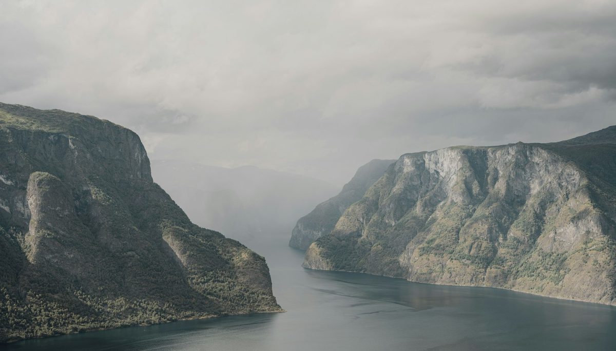
A Hanseatic port, a railway that drops 860 metres, glaciers, hairpin bends and an Art Nouveau town: an eight-day route up Norway's fjord coast.
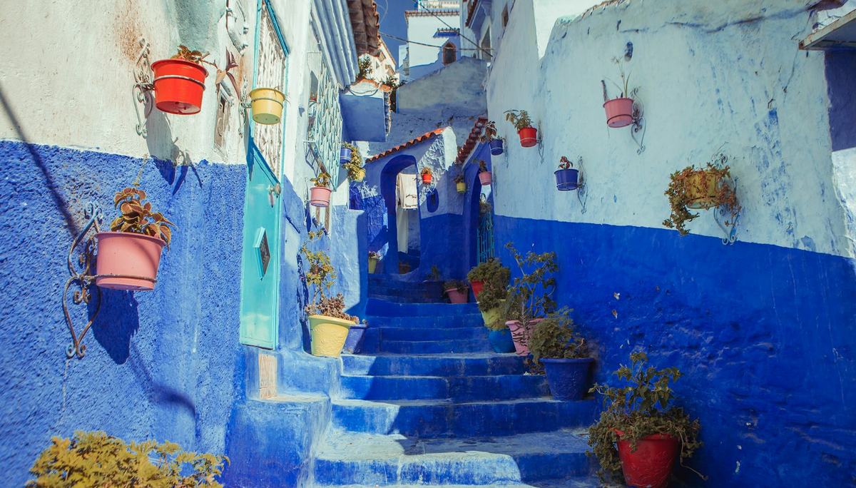
Greener and gentler than the south: Tangier's medina, Tetouan's Andalusian souks, the beaches of the Tamuda Bay and the blue town of Chefchaouen.